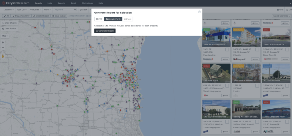
Create robust GIS maps or Property Tour maps – in only a few clicks!
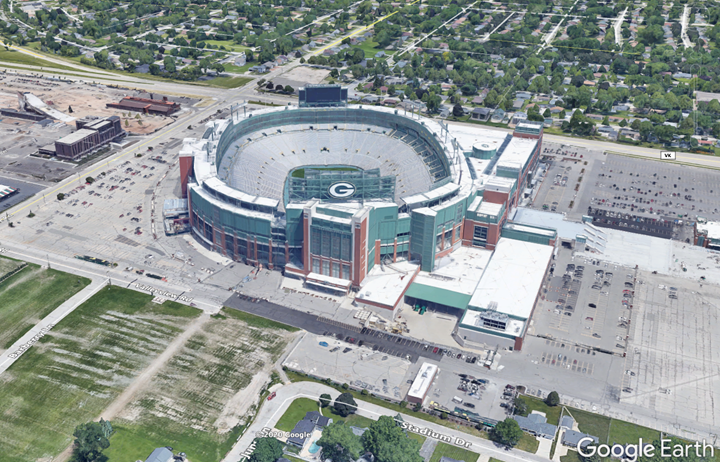
Presenting a visual representation of a property and its surroundings are vital in helping you and your clients in making Real Estate decisions. With just a few clicks we can plot your property, create a flying aerial tour, show traffic data, Retail logos and more. FREE and included in your CARW Exchange Membership.
For a 1-minute feature video on Google Earth, CLICK HERE
For a full-length Google Earth Tips & Tricks tutorial, CLICK HERE

Quickly create stunning 3D images and 360° flyovers for your properties

Contact Catylist with questions at 800-574-9183 x803.
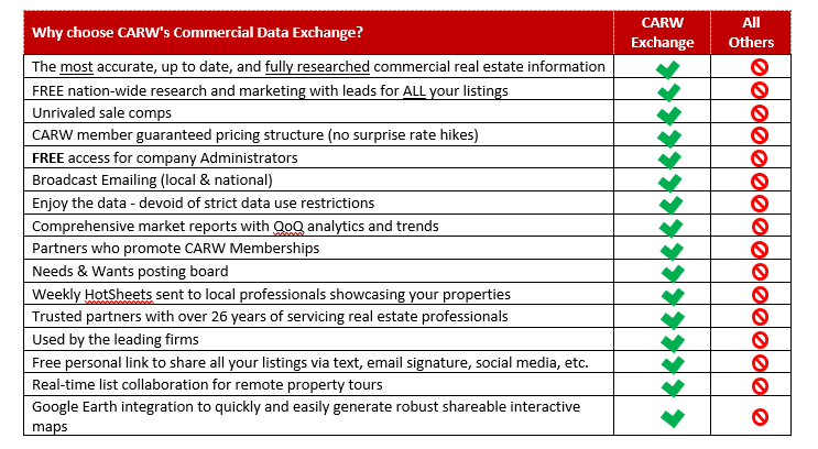
Click Here to become a CARW Commercial Data Exchange Member, lock your rates of just $115/mo guaranteed for 24 months, and join the hundreds of CARW Members united together for the most complete, accurate, and cost-effective marketing and data research service. Please contact us at info@redicatylist.com or 800-574-9185 x803 if you have any questions. See more at http://redicatylist.com/carw/
The CARW Commercial Data Exchange is Researched by REDI and Powered by Catylist.
